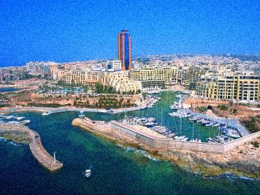
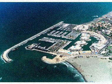
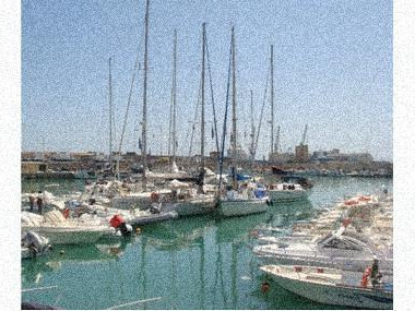
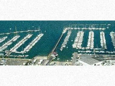
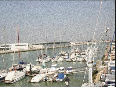
 Photos of the marina (may differ from reality).
It forms part of the urban landscape of El Puerto de Santa María, one of the most recognized and visited ports in Cadiz. It is located on the Guadalete River and hence its peculiarity. r
MAP, Location
(The map is based on coordinates, check. May be inaccurate)Address Real Club Náutico El Puerto de Santa María
El Puerto de Santa María (Cádiz), Spain- Latitude.: 36º 35' 0'' N
- Longitude: 06º 15' 2'' W
- Moorings: 200
- Draft: 2/5 m
- Maximum length: 18 m
- Concessions until: 31 diciembre 2010
What options in
-
Services:VHF canal 9
Fuel
Water
Electricity
Crane
Internet
Rating
Current customer rating:
5/5
based on 4238 customer reviews
