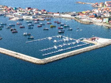
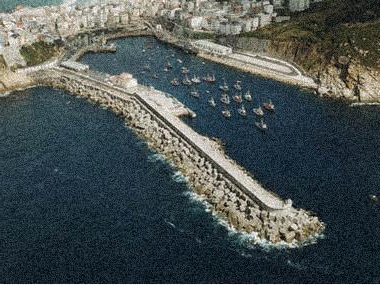
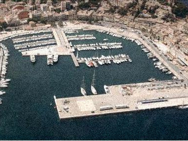
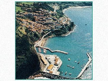
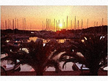
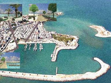
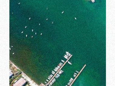
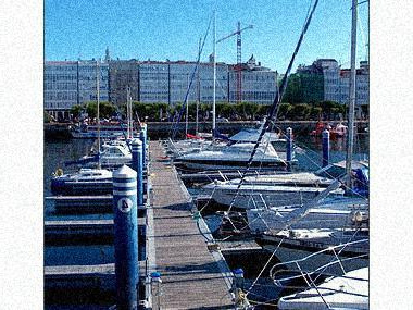
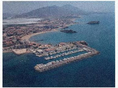
 Photos of the marina (may differ from reality).
The port occupies the western end of the cove and consists of a small shell limited to the S by the aforementioned Cabezo del Puerto and to the N by the Punta del Rigüete. It goes in about 400 m to the W. Its shores are framed by the buildings of the town that extends to the W along all the shores of the beaches mentioned above up to the vicinity of Cabezo del Castellar, forming summer colonies of chalets and hotels for tourism.
MAP, Location
(The map is based on coordinates, check. May be inaccurate)Address Puerto Deportivo de Mazarrón Club de Regatas
Mazarrón (Murcia ), Spain- Latitude.: 37º 33' 30'' N
- Longitude: 01º 16' 24'' W
- Moorings: 205
- Draft: 2.5 m
- Maximum length: 20 m
What options in
-
Services:Crane 10 Tn.
Rating
Current customer rating:
5/5
based on 3652 customer reviews
