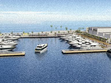
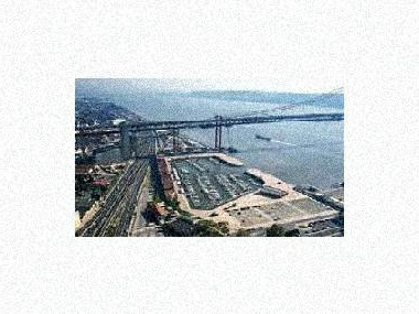
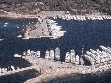
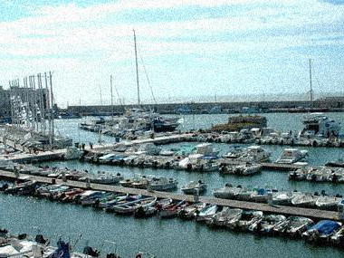
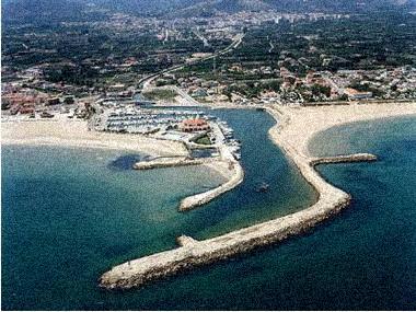
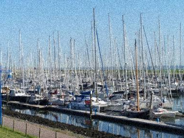
Photos of the marina (may differ from reality).
Within this unique coastal area is the Isla Cristina Marina. Located on the left bank of the Carreras River, a mile and a half from the Poniente Dam head, its geographical coordinates are 37º11'54"N. 7º19'36"W. The tide run is 3.4 meters and the currents reach 2 knots. The port is equipped with floating pontoons for docking. For access to the sports dock, we recommend contacting the port office through Channel 9 of Radio Marina.
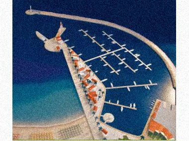
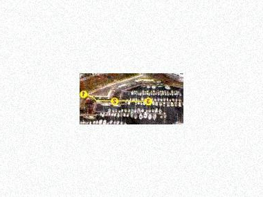
MAP, Location
(The map is based on coordinates, check. May be inaccurate)Address Puerto Deportivo de Isla Cristina
Isla Cristina (Huelva ), Spain- Latitude.: 37º 11' 53'' N
- Longitude: 07º 19' 43'' W
- Moorings: 204
- Draft: 2.00 m
- Maximum length: 20 m
- Concessions until: anual/renovable
What options in
-
Services:VHF canal 9
Fuel
Water
Electricity
Travelift 32 Tn.
Crane 5 Tn.
Showers
Rating
Current customer rating:
4/5
based on 5392 customer reviews