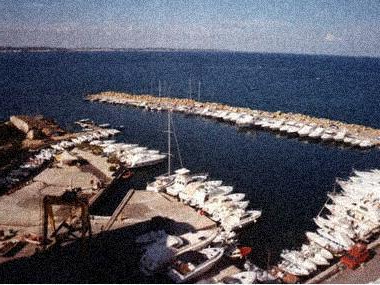
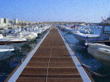
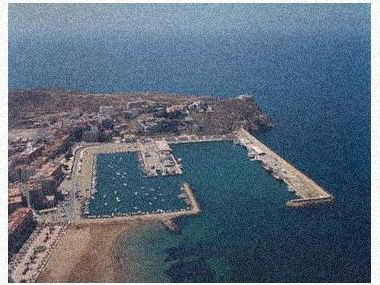
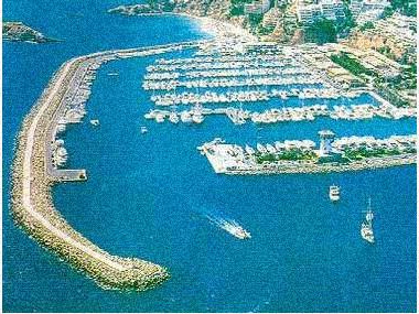
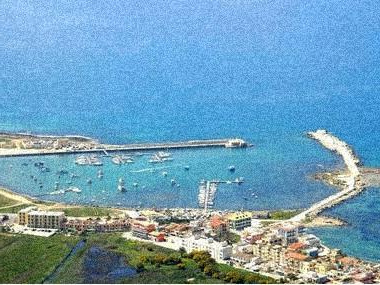
") Photos of the marina (may differ from reality).
Photos of the marina (may differ from reality).The mouth of the Viveiro estuary 43º 43¿N 07º 36W opens between Pta. de Faro (white tower Gp Fl(2) R 6m14s) and Pta. Socastro (white tower D V 6m7s) at 1 M at 290 from the previous one. It runs from N to S with clean, high and cliff coasts, you can navigate near them and to reach the port of Celeiro, cross the estuary until you pass the Pta. del Becerro that we will protect about 100 m. A little further to the S is the breakwater of the Celeiro pass. From the E end of the Covas beach, a channeling dyke starts in a N direction, turning to the WNW up to the height of Cillero, which is about 800 m long. Parallel to this, about 80 m away, there is another breakwater with the same characteristics whose end is about 400 m to the S of the light of the Cillero breakwater. Its end is marked by a flashing red light. These dikes form the entrance to the Vivero entrance channel.
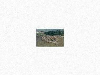
MAP, Location
(The map is based on coordinates, check. May be inaccurate)Address Marina Viveiro (Puerto de Viveiro)
Viveiro (Lugo ), Spain- Latitude.: 43º 40' 1'' N
- Longitude: 7º 35' 41'' W
- Moorings: 205
- Draft: 2 m
- Maximum length: 10 m
What options in
-
Services:VHF canal 9
Fuel
Water
Electricity
Travelift 35 Tn.
Crane 8 Tn.
Showers
Parking
Internet
Rating
Current customer rating:
4/5
based on 5339 customer reviews