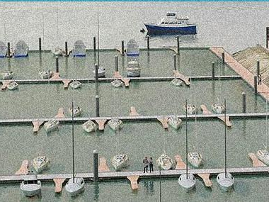
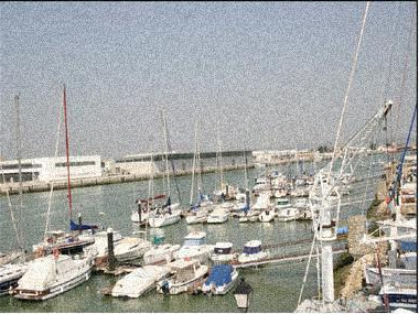
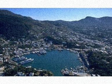
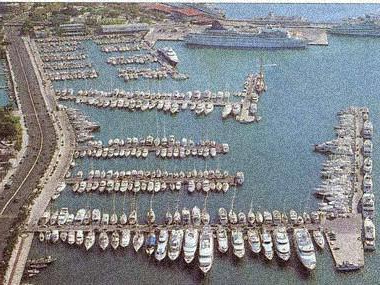
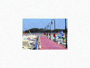
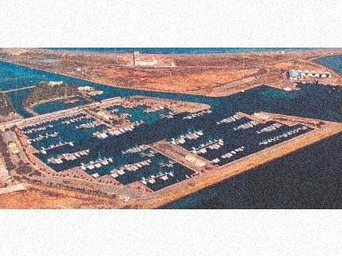
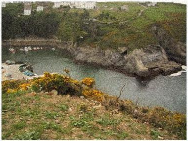
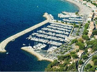
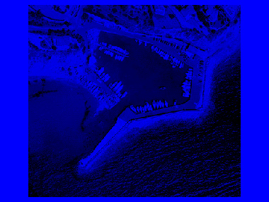
Photos of the marina (may differ from reality).
In the heart of the Costa de A Morte. The Ría de Camariñas opens to the south of Cabo Vilán. Cape Vilan, if you come from the N, and Touriñán, if you come from the S, are the two milestones for the recognition of this estuary. Between the points of Monte Farelo and Pta. of the boat; open to the NW, and with 2 M sac, is the Camariñas estuary. In front of the mouth, two basses (Las Quebrantas and Leixón de Juanboy) condition the entrance. Canal de las Quebrantas, coming from the N, and guarding the Bajo Bufardo, will sail until the hermitage of Ntra. Sra. del Monte takes 135º, heading towards it, until Vilano is lined up at 015º with Punta del Cuerno, steering to 179º with the church of Muxía by the prow. Passing between Farelo and Quebranta Chica, until discovering the mouth of the Ponte do Porto river. Here, at 108¿5º, bow to the leading line of Punta del Lago, NS of Castillo Novo, steer in search of the port jetty. Canal de la Barca: it is wider and better to navigate. Navigate until reaching Punta Villueira with Punta del Castillo Novo and the mouth of the Ponte do Porto river at 082º, then steering this course with a bow to Punta Villueira until the church of Muxía delays at 179º. From here, navigate using the directions above. Sailing boats must not attempt to pass between Las Quebrantas except in good seas and on board wind.
MAP, Location
(The map is based on coordinates, check. May be inaccurate)Address Puerto de A Pobra do Caramiñal
Pobra do Caramiñal (Corunna ), Spain- Latitude.: 42º 36' 0'' N
- Longitude: 08º 56' 0'' W
- Moorings: 281
- Draft: 3 m
- Maximum length: 24 m
- Concessions until: indefinida
What options in
-
Services:VHF canal 9
Fuel
Water
Electricity
Crane
Showers
Parking
Internet
Rating
Current customer rating:
4/5
based on 6349 customer reviews